I’ve been meaning to write this all week. I admit the avalanche beacon article took off much more than I expected.
Late last week I hinted at the arrival of a weather system this weekend and that I would track its progress.
I have been doing that and it’s bloody frustrating, it chopped and changed on the forecast models and despite some big numbers being thrown around there was a persistent ridge of high pressure to the SW cutting off its feed of cold air, and for this reason I just didn’t like it. The moisture was streaming in from the tropics but I just didn’t see what was going to cool it down. At best it was a NSW system with the rain/snow level too high for Victoria.
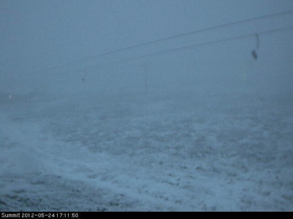
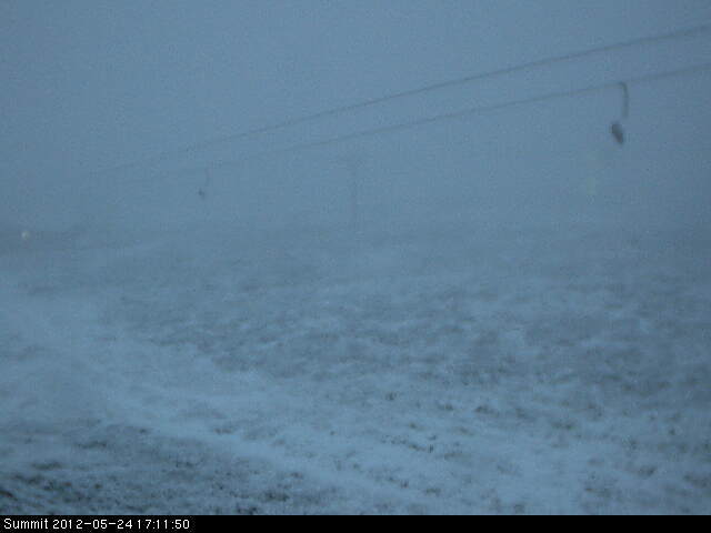
Snow was spotted on the Mt Buller Summit Cam late this afternoon:

However the lower cams did not show any evidence of snow down towards the village, or even lower at Little Buller Spur, which makes sense given the temperature outside Tirol Restaurant only reached a low of 0.2C and has since risen to 0.9C
The Weatherchaser composite Satellite / Radar clearly shows the situation, a front was trying to push in from the SW, as evidenced by the dramatic temperature drop at Mt William which has now been creeping back up. This is being blocked by a northerly tropical feed. This is bound to be wet but I can’t see it being cold.
On Snowatch Frog is calling for conservative snow amounts tomorrow, with Jane’s Weather slightly more optimistic. Weatherzone has not yet started its Alpine forecasts for the season, a resource I check on my roundup. As for the Weather Nerds there is not much consensus but nor is there much optimism either.
It’s not going to be a bonanza, but that’s OK. There is still plenty of time.
I’ll keep you all updated as things pan out tomorrow. Let us know your thoughts in the comments below or observations if you are in the hills.
Don’t forget to Like aussieskier.com on Facebook and Follow us on Twitter. I have made available a FREE pdf on avalanche safety on the aussieskier.com Facebook Page.


