UPDATE: Friday 3pm: And one last pic:
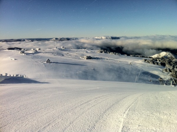
Meanwhile it looks to be clouding over this afternoon, in anticipation of a light snowfall tonight which will be followed by another on Sunday. More details from Jane’s Weather:
ALPINE FORECAST
REST OF TODAY Snow level: about 1400 metres during the afternoon, lowering to 1200 metres from this evening.A mix of snow showers and sunny areas, but a burst of snow and strong winds, develops from west to east this afternoon, continuing tonight.
SATURDAY Snow level: 1100 to 1200 metres.Snow showers, easing. Strong winds easing.
SUNDAY Snow level: 1200 metres lowering to 1000 metres later. Snow showers (but the chance of sun), then a new burst of snow and strong winds from the afternoon.
MONDAY Snow level: 1000 metres, rising to 1200 metres later. Snow showers, easing. Strong winds easing.
TUESDAY Snow level: 1200 metres. Snow showers (but the chance of sun), then a new burst of snow and strong winds from the afternoon or evening (or possibly delaying until Wednesday).HOW MUCH?
Friday into Saturday: 5 cm.
Sunday into Monday: around 10 cm.
Tuesday/Wednesday: not guaranteed but 5 to 10 cm.
UPDATE: Friday 10:30am – Yet even more pics!!!
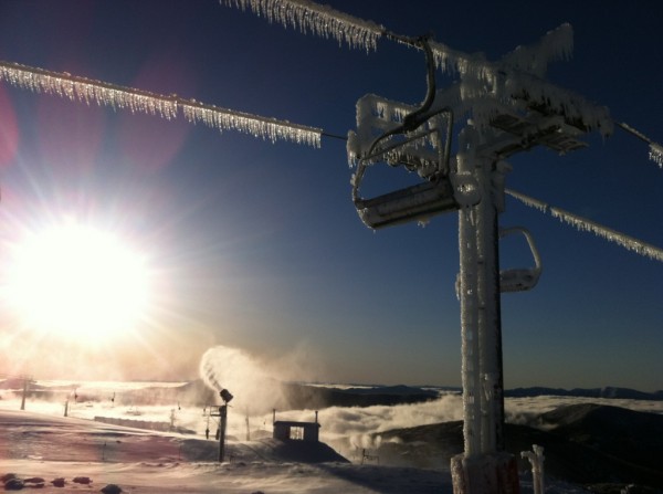
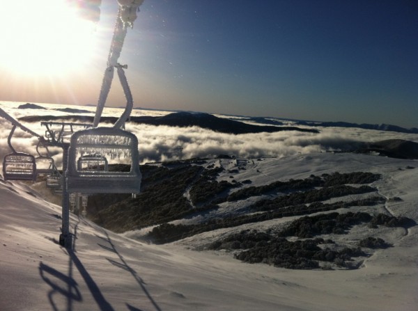
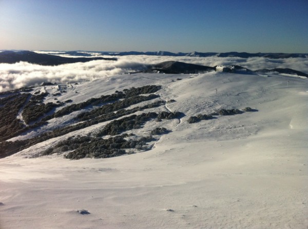
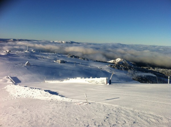
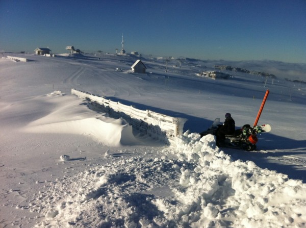
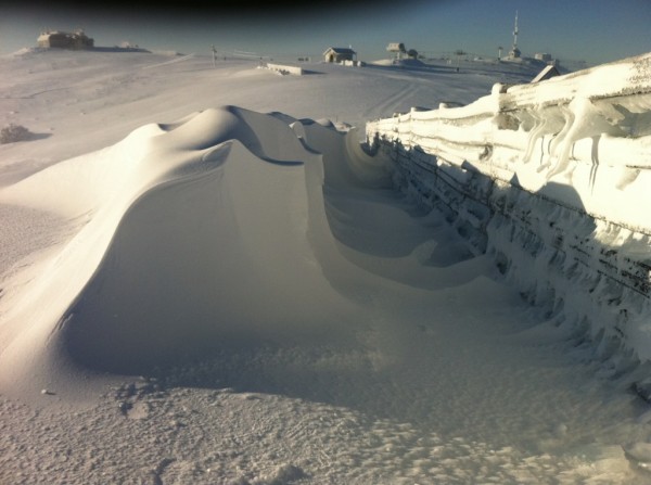

A huge thanks to all that have been sending these in – it’s much appreciated!!!!!!!!
UPDATE: Friday 9am: More Pics:
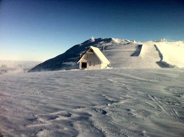
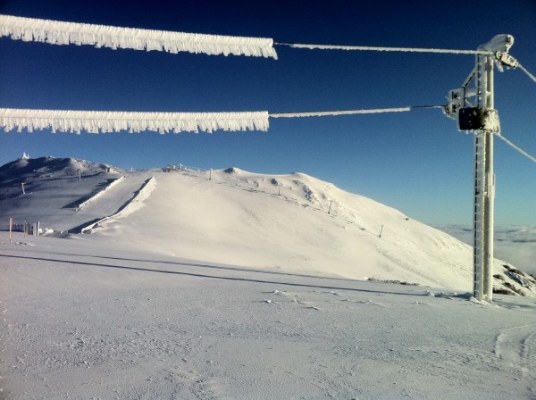
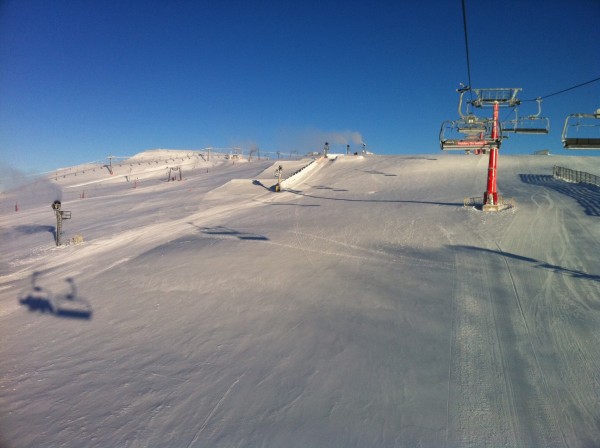
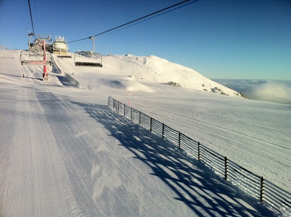
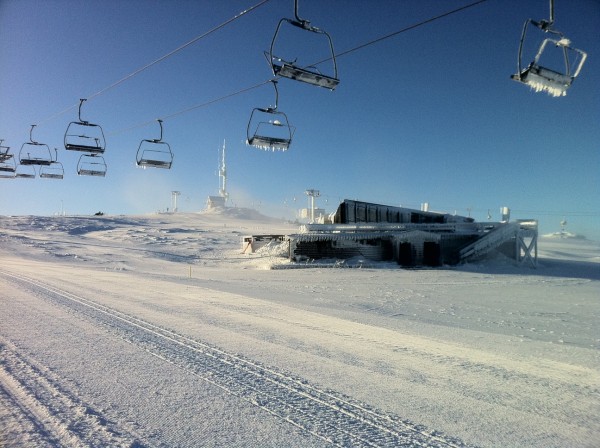
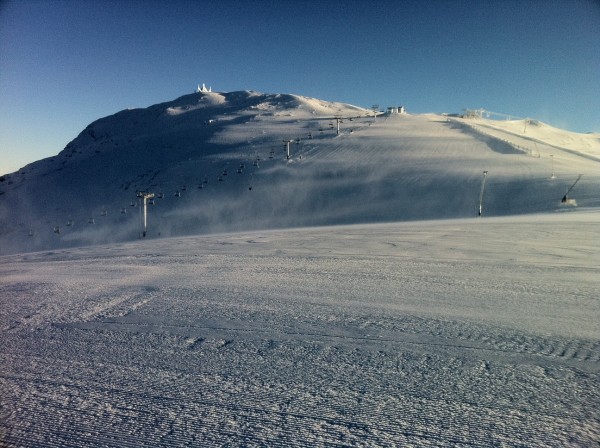
UPDATE: Friday 8am This just arrived in my Inbox:
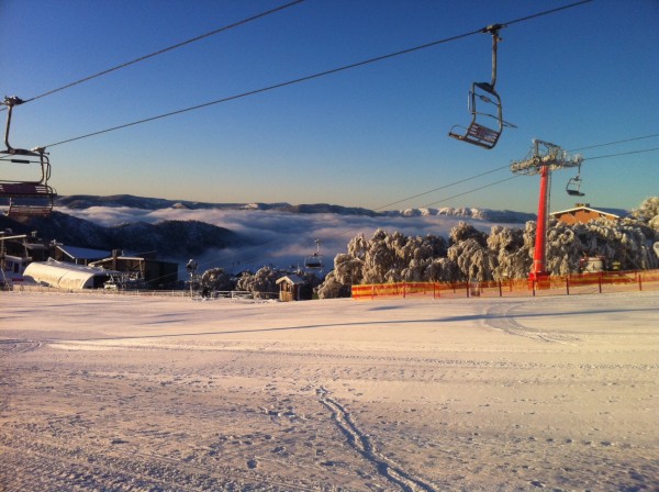
Accompanied with this:
Howqua, Horsehill Chair, Spurs Trainer T-bar & Burnt Hut carpets today & Standard maybe tomorrow….maybe
Also twitter user @empaul101 has tweeted a couple of great pics: https://yfrog.com/kl120pyj https://yfrog.com/ketrxjj
And finally some more here on Facebook
Looks like a great day to be up there, very jealous.
Will be on the hill again tonight and will update the blog as conditions dictate over the weekend.
Don’t forget to ‘Like’ aussieskier.com and follow us on Twitter


