Looks like we’re in for a bit more snow. As we know Buller is in desperate need of snow, and the chatter I’ve heard from Falls and Hotham is that while they are far from dire straits a nice little top up will be just what the doctor ordered, as their lower, sun facing aspects need a bit of a kick along.
The summary is this: A ‘medium size’ weather system is approaching and should arrive late tonight/early tomorrow, followed by another on Saturday and a potentially decent one on Sunday.
Jane’s Weather is predicting between 13 – 35cm prior to the Sunday front, at this stage it’s a little early to tell the extent of that one but she has conservatively mentioned 10-20cm with the potential for more if everything lines up. Mountainwatch’s ‘Grasshopper’ is similarly in a state of muted enthusiasm about the snow over the weekend and into next week, and has agreed with Jane that the Sun-Tues system has potential but wants to wait to see the progression.
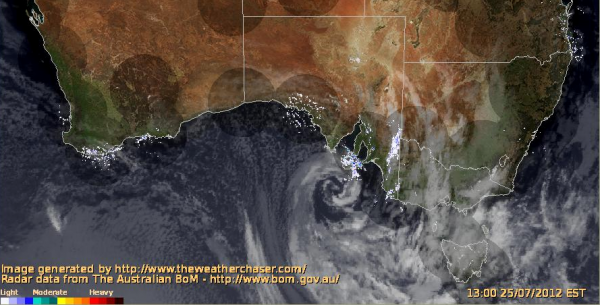
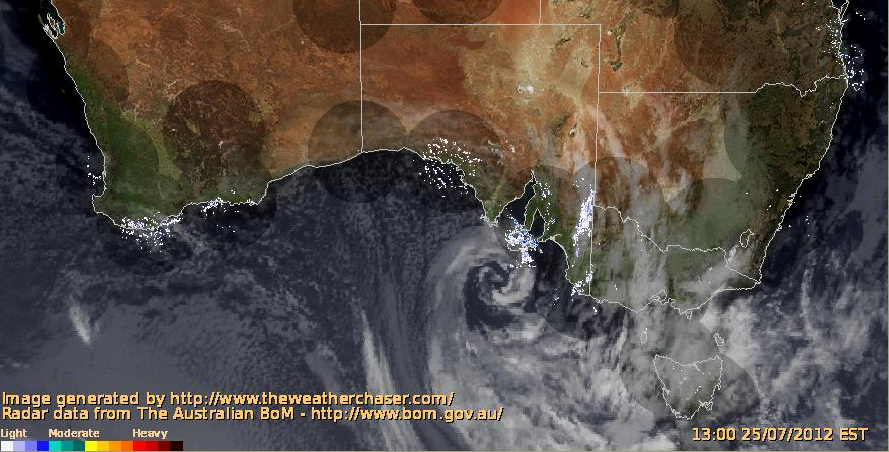
The Frog is predicting light to moderate snowfalls between tomorrow and Tuesday, the snow levels in his prognosis are both low & encouraging, as is the Weatherzone Snow Forecast. The BOM 4 Day MSLP chart shows the progression of fronts, and on The Weather Chaser Composite Sat/Radar you can see the swirling low winding itself up right over Kangaroo Island: (click to enlarge)

A point of contention for me has been the notorious ‘OMG SNOWFLAKE ICON’ phenomenon – for some reason forecasts will mention ‘Snow’ or ‘Snow Showers’ even though the temperatures next to the infamous icon might be for a low of 1 degree and a high of 3, which I’m pretty sure my University Chemistry training told me is not possible. Yet every man and his dog gets sucked in, jumps up and down, and posts a screen grab of their iPhone app on to Facebook. I just think it makes them look like a dick. So a ski.com.au Forum member who works for the BOM asked internally about this & summarised that it would seem that the NSW Alpine forecast has an extra element of human interaction, QA and common sense as to whether snow will arrive, whereas the Victorian forecast is automated and can throw up indiscriminate results, the unfortunate element of which is mass hysteria even when it’s blindingly obvious that it’s going to piss with rain. Or maybe a few snowflakes above the road at Hotham.
Either way I reckon that looking at this system the snowflake icons are justified due to the temps/snow levels being discussed.
I look forward to reporting tomorrow what is happening in the mountains and also checking out the Sun-Tues system as it approaches and the forecasts become more apparent.
If you’re in the mountains please keep the #aussieskier hashtagged Instagrams rolling in, they are displayed here on aussieskier.com/social and also our Facebook Page – you can ‘Like’ the page to get the pictures direct to your newsfeed.


