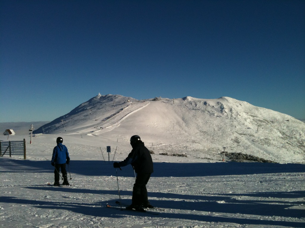
Home Blog Page 32

Bluebird skies at Mt Buller – Report & Pics 17/7/10

[ad#Adsense Banner]

UPDATE 12pm Sunday:

Reporting live from Koflers.

It’s grey, cold and windy, and snow is on it’s way. Snow is a little nicer than yesterday an the fog is keeping the crowds down, apart from LBS as usual.

Up to 20cm fresh is forecast between this afternoon and Tuesday, which will of course be a welcome addition.

UPDATE 5pm Saturday:

What a remarkable change since last weekend!

Since being pushed to the brink by a torrential tropical rainstorm on Tuesday, the cold air arrived and 30cm of new snow fell. We were greeted by blue skies this morning and headed out early for some fun, fast skiing.

Little Buller Spur was quite icy and crowded so a single run there was enough for the day. Next we went to the Summit and has a few good fast runs on skier’s left and right, with good cover down to both the T Bar and Howqua Chair.

Family Run is open but a bit patchy and Shakey Knees is in good nick again. Skyline is well covered as well.

There were pretty decent lift lines throughout the day, nothing insane but you couldn’t expect to ski straight on but no different to any sunny weekend day after a recent snowfall.

All in all a great ski day, looking forward to tomorrow ,and also anticipating the next snowfall which will certainly make a difference

Stunning Hotham Shots

[ad#Adsense Banner]

What a beautiful morning here up at Sunny Mt Hotham. A foot of fresh followed by a bluebird day, what more could you want!!!

Mt Hotham 16/7/10

Hotham 17/6/2010

Mt Hotham 16/7/10

Mt Hotham 16/7/10

Pics from Mt Buller 16/7/10

[ad#Adsense Banner]

Courtesy of Drew Wilson:

Mt Buller 16/7/10

Mt Buller 16/7/10

Mt Buller 16/7/10

Also check out today’s installment of snow-blind for another great shot.

Snow is on its way!!!!

UPDATE: 8am Friday:

Mt Buller Summit 16/7/10

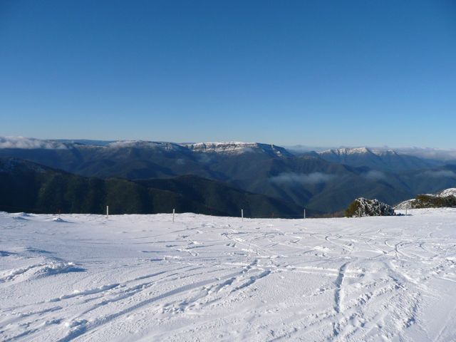
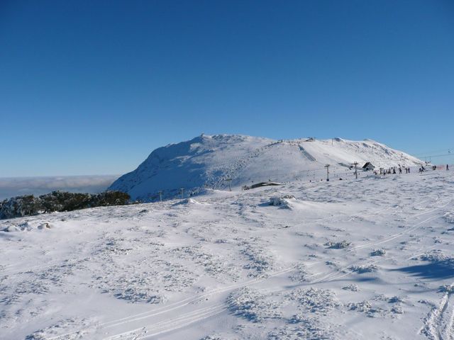
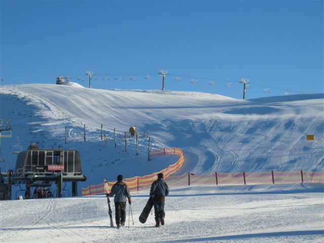
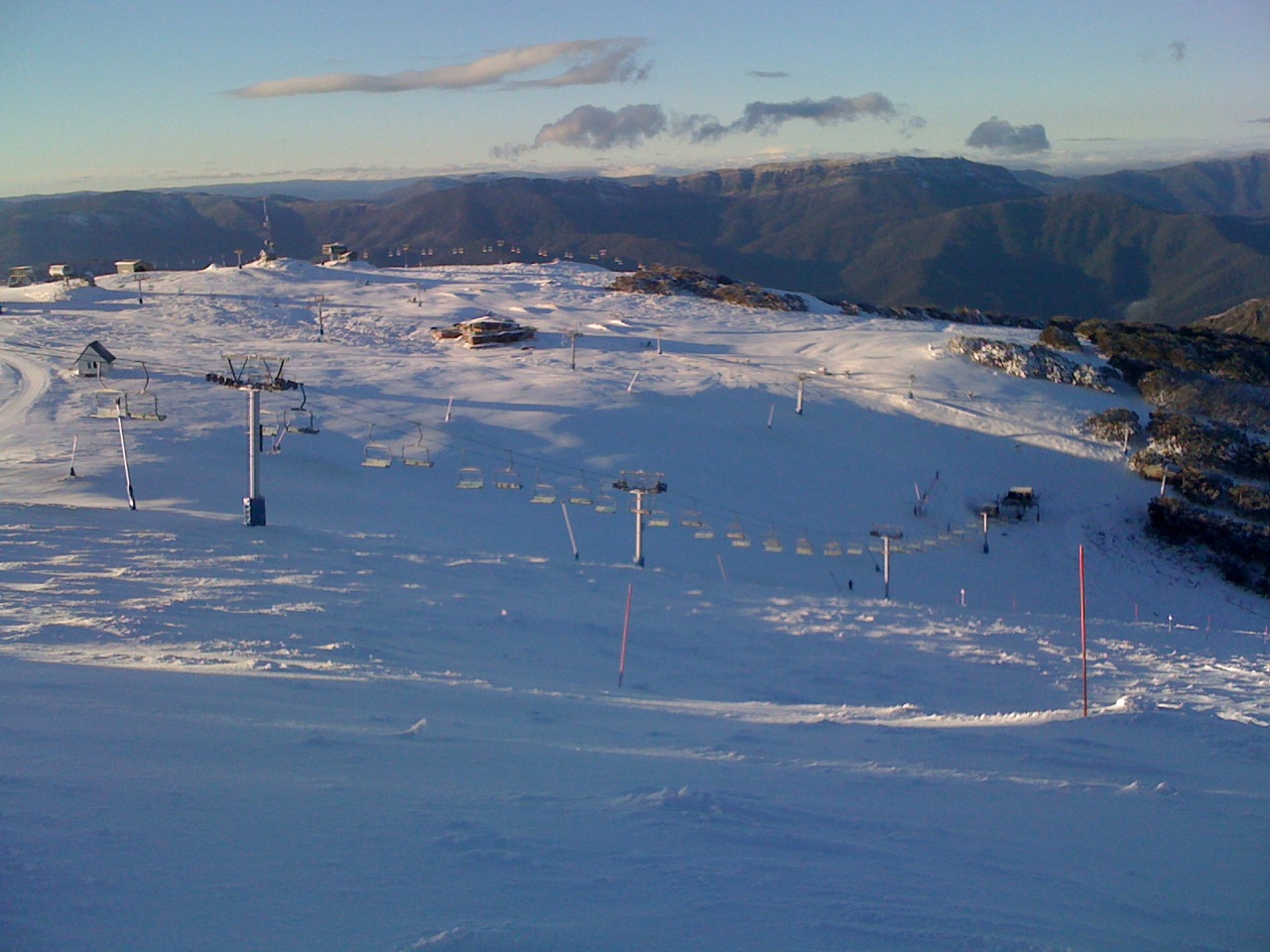
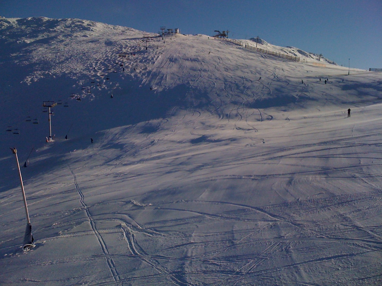
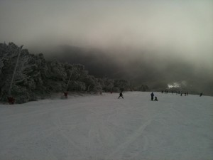
I have done some digging to find out if there’s more terrain opening at Buller on the weekend, the answer wasn’t too exciting “Same as last weekend with addition of Chute & Boomerang maybe”. However we do need to remember that prior to this snowfall was a tropical rainstorm which pretty much brought the natural snow cover back to zero, and no doubt affected the man made areas. As you can see from the photo, the fresh snow is no doubt welcome but not quite enough to open areas without man made snow.

So I’m looking forward to heading up tonight and a good weekend’s skiing, and I think it’s Sunday-Tuesday’s storm that should bring us up to 20cm of new snow that will allow the opening of new terrain. As I will be in New Zealand and therefore missing the next 2 weekends after this, Murphy’s Law dictates that the storm will be great and I will miss the 2 best weekends of the season.

UPDATE: 12:30pm Thursday:

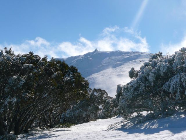
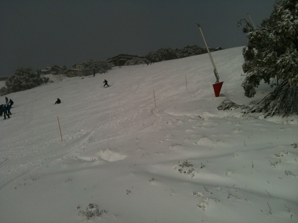
Good blog post & pic from Snow-Blind.

Also the latest from Jane’s Weather:

Next weather system:

Approaches Victoria from the southwest on Saturday night. This system has NO tropical moisture, so no big deluge. A front should cross Victoria on Sunday, followed by another one on Monday or early Tuesday. This system has cold air with it, and it should be snow at the peaks from the beginning, before lowering throughout the alpine.

I am expecting just very light falls for anywhere well north of the Divide, and varying amounts between 5 and 20 mm on and south of the Divide – varying because this will be made up of showers which are convective based, and that activity is very hit and miss.

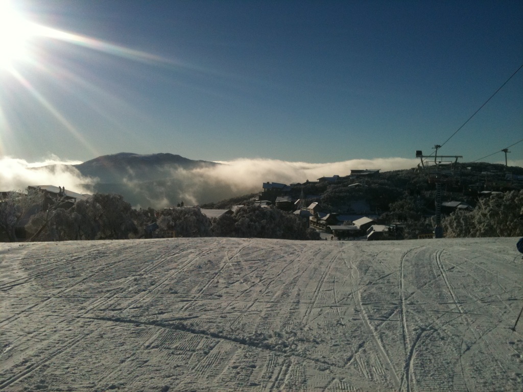
UPDATE: 10am Thursday:

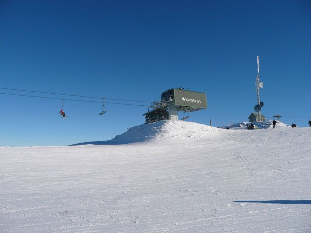
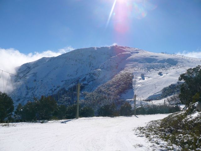
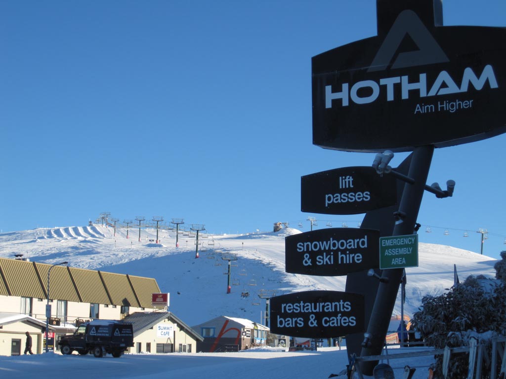
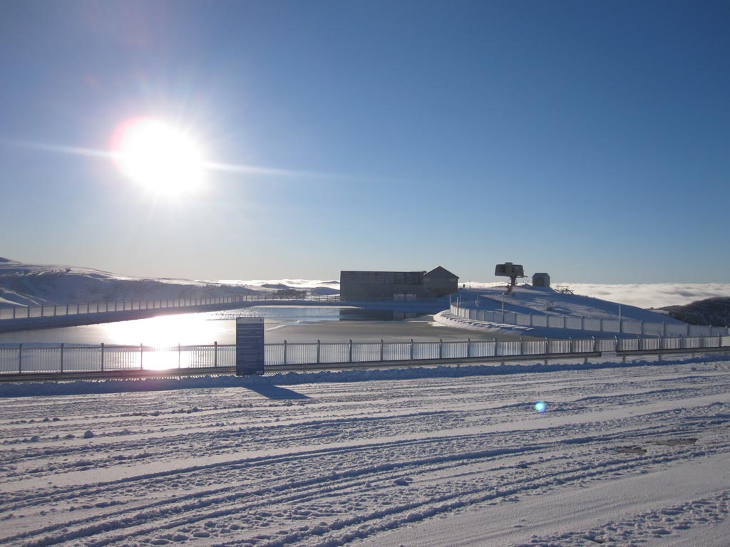
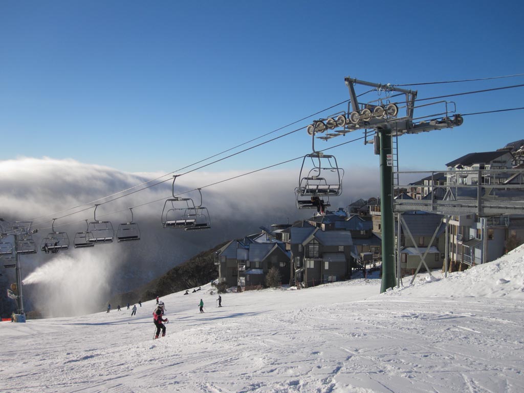
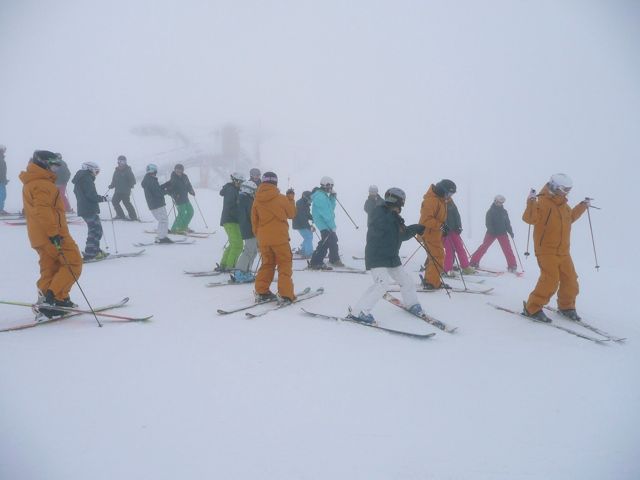
Some pics just sent by Drew Wilson:

Mt Buller Shakey Knees 15/7/10

Mt Buller Shakey Knees 15/7/10

UPDATE: 8am Thursday:

Well the results of the storm are welcomed. As there was pretty much zero natural snow for the rain to wash away, the result has been a nett gain with resorts reporting 20-30cm 24hour new snow totals.

We might see a few more cm from this storm, but it looks to be clearing with a follow up on Sunday-Tuesday next week. This one doesn’t look like being huge, but most likely won’t be preceded by rain either.

As usual I will update this through the day as I hear about skiing conditions.

UPDATE: 9:50pm Wednesday

Latest from luvthabumps (proprietor of the wonderful Village Square Cam) on the ski.com.au forums:

we have a winner just on the phone to jnr LTB now and made him go onto the balcony (where the cam is) with a ruler and the average depth is 22cm in the middle of the balcony (ranges from low 17cm to 30cm highest)

UPDATE 4pm Wednesday

A couple of SMS’s just received from the hill, hope you can decode the messages!

About 3-5cm last night…. But then it ‘snained’ all day til about 2:15 but it is puking now… Yay

AND:

Wet ice hail am snow flurries building to ok falls now still windy ocuple centimeters this arvo skiing miserable

UPDATE: 1:30pm Wednesday

Watch this space, this is the part we’ve been waiting for. The system is developing well, the radar is showing heavy precipitation heading towards the Alps.

I’ll update when I hear from people on the hill, but I like what I see.

UPDATE: 9:30am Wednesday

Just got a phone call from Hotham – it is dumping, full blizzard conditions.

Jane’s Weather has a good summary of what has happened, and what we can expect between now and Sunday/Monday

UPDATE: 8:30am Wednesday

Well it looks like the pessimism of the Weather Nerds wasn’t ill-founded. The trough delivered the rain that was expected, for much of last night it was 4-5c in the resorts and absolutely pouring. I got a few messages but they were too depressing to relay here.

The cold air arrived at about 1:30am but at that stage the precipitation pretty much dried up. Buller is reporting 3cm of new snow and the Village Cam tends to corroborate this.

Scattered showers are showing on the radar but a more substantial band of precipitation has just gone through Adelaide, so that is our next hope for some snow.

So it’s pretty disappointing at this stage, but not totally unexpected, as mentioned earlier in this post it’s a nervous situation when we’re relying on a cold front to combine with tropical moisture in exactly the right spot.

UPDATE: 4:30pm Tuesday

Just got messages from Buller and Hotham – it’s pouring (well they used another word beginning with P!)

ski.com.au Weather Forum members estimate the cold air will cross the Alps in approx 5 hours.

UPDATE: 1:20pm Tuesday

Here’s a message I just received from the hill:

The wind has picked up to an average of 90 km/h and gusting to above 120km/h.

Only blue bullet running.

Also scroll down to the comments to see a report from Lorraine Lock of snow-blind fame.

Thanks for the tips guys and I will keep updating as they roll in.

UPDATE 11am Tuesday:

Synoptic Chart 13/7/10

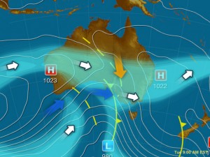
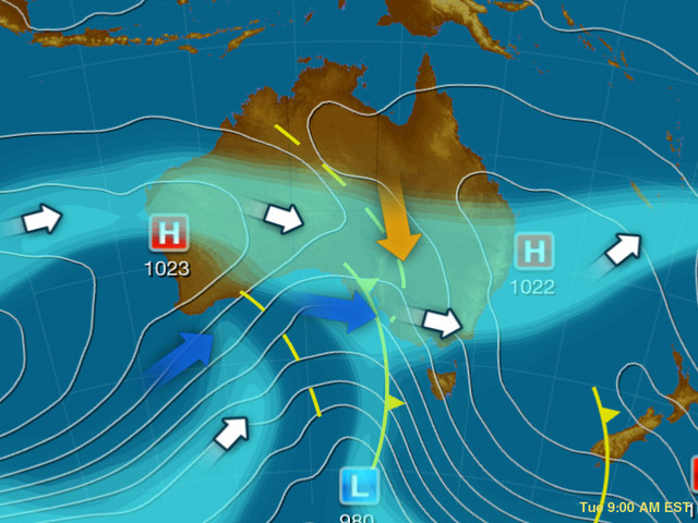
It’s basically a race between two arrows. The red one is the warm precipitation being sucked in from the tropics by a dirty great trough. The blue one is a good ol’ fashioned cold front.

That the red arrow will arrive first is a foregone conclusion, but it’s the timing of the blue one that will determine our fate. Some of the most epic snowfalls have been produced by the coming together of tropical moisture and cold antarctic air, but the combination and timing needs to be just right. It’s a nervous setup, and I will take a SW Cold Outbreak any time.

The moisture will hit this afternoon, and it seems like the more northerly resorts will be the most affected, both by the rain and the subsequent snow. As usual, Jane’s Weather has a good description of what to expect in layman’s terms:

It is too warm for snow in the alpine areas to begin. This precipitation will fall as rain this afternoon and tonight. It will quickly change to snow around 9 or 10pm at the western mountains and around midnight in the northeast (early Wednesday in NSW). Then the snowline should quickly lower to around 1000 metres. The weather models show that this scenario would add up to:

* 40+mm of rain, followed by 20 to 30 cm of snow in the northeast;
* around 20mm of rain, then 20cm of snow near Buller;
* and 5mm of rain, followed by 20cm of snow at Baw Baw.

Conditions ease gradually from the northwest on Thursday and Friday.

There appear to be two cold fronts coming after that, linked to the same upper weather pattern and cold air. The first is on Sunday and the second early next week. These don’t have tropical moisture linked to them that would make it to southeastern Australia, so it is just what we get from the west. That equals little for areas well north of the Divide, but all snow for the alpine areas.

Others aren’t as confident, most notably the Weather Nerds however they are much more excited about the follow up system.

So it could be a matter of closing your eyes today and tonight, and hoping to see some white on the cams this morning. I’m expecting SMS updates from friends on the mountains and will update this post when received.
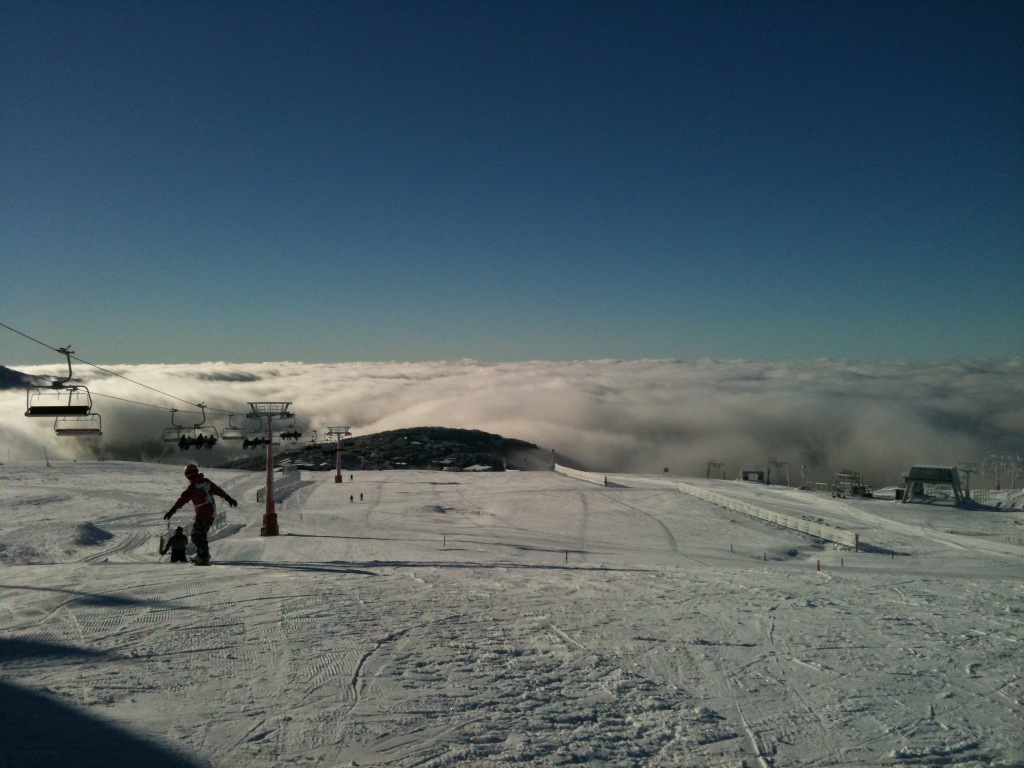
UPDATE 1pm Monday:

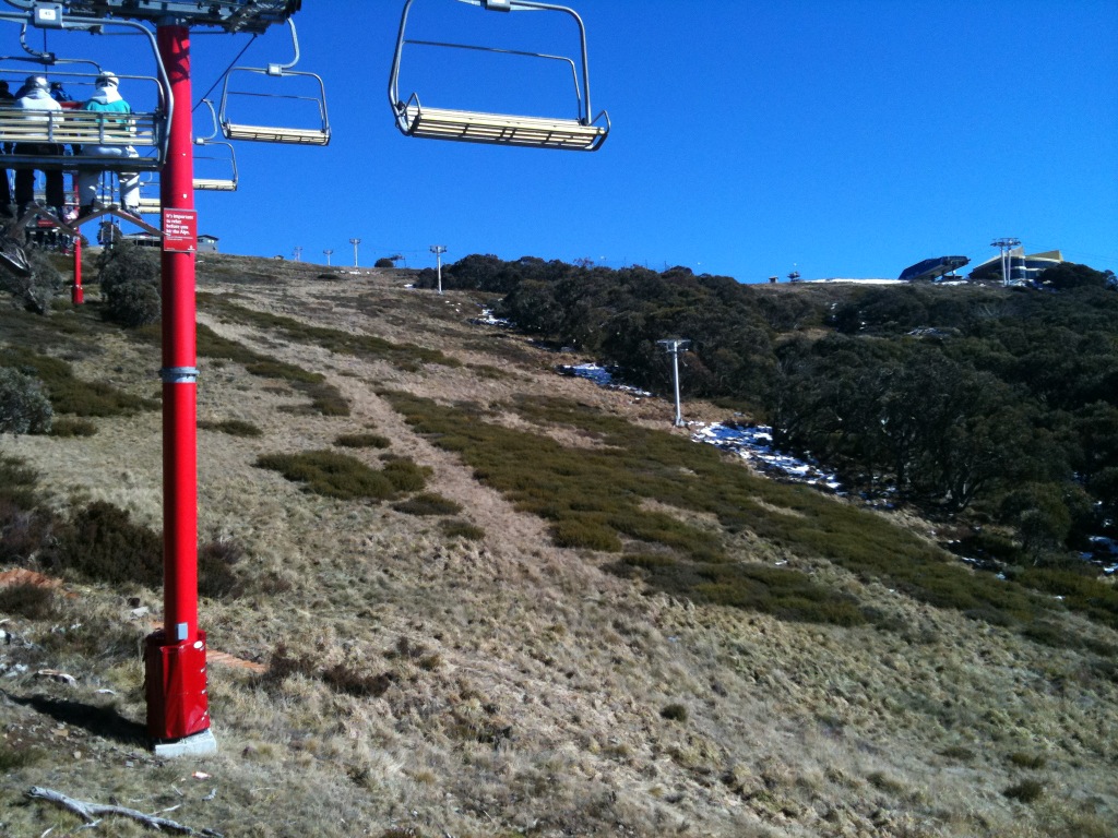
Things are looking more positive for a series of fronts over the weekend and into next week. I am pretty loath to get excited about things that far out so I’ll be a little measured in my expectations, but at this early stage the signs are good. I’ll have a closer look this evening and add in some of the links I have been looking at, however as I will miss the 2 weekends following this one for my trip to NZ, that definitely makes me think it’s going to snow!

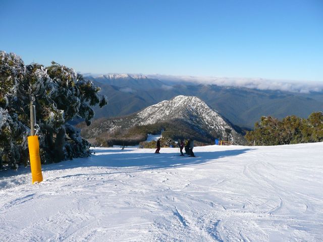
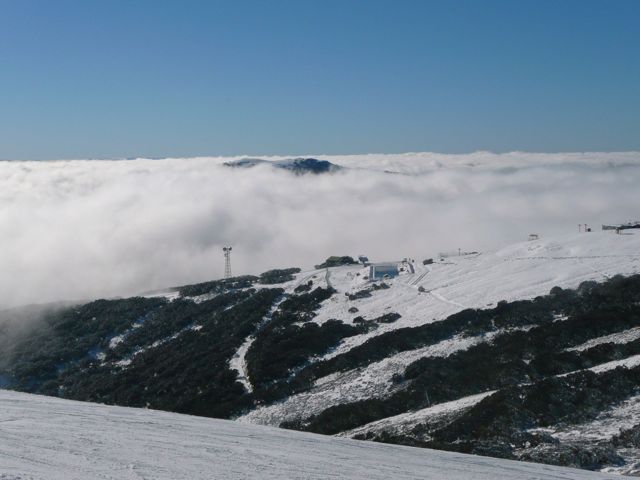
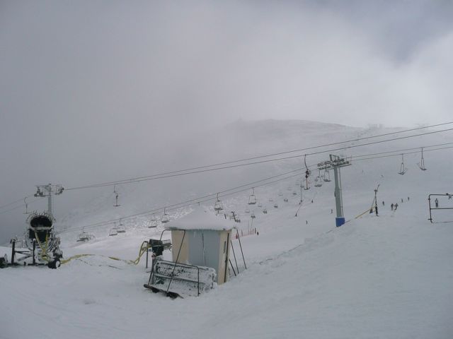
Meanwhile Drew Wilson sent me this photo from the hill today (at least it’s sunny!):

Emirates Chair Mt Buller 12/7/10

UPDATE 9pm Sunday:

Instead of dwelling on the weekend just gone, I think it’s time to think positively and look ahead to the snow coming this week.

I enjoy being right, in fact I absolultely love it, but it didn’t bring much joy to have accurately predicted what would happen over the weekend – anyway that’s what aussieskier.com is all about – helping readers make informed decisions about how the snow is looking.

So the weekend’s storm left the resorts in quite a state, but there is snow on the horizon. Once again it will commence as rain, but this time there is the potential for a decent amount of snow in its wake. As usual, timing will be of the essence, and while predicting when the cold air will allow the rain to turn to snow is something that’s pretty tough, I think there’s a concensus out there that it is going to happen this time.

Jane’s Weather has an excellent precis of the situation:

I am expecting rain to fall throughout the alpine areas from Tuesday afternoon until early Wednesday morning. It will then change to snow and the snow line should rapidly lower to the base of the alpine resorts. Rain out ahead may be as much as 50mm but then the last bit of the tropical moisture should fall as snow, plus everything we then get from the cold front. All up around 20cm. Baw Baw should miss most of the moisture again, but also get some good snow in the cold part. Snow on Wednesday followed by snow showers on Thursday and perhaps a little more on Friday.

The EC weather model then has a nice three pronged snowy cold front attack coming from next Saturday through to Monday. The US doesn’t like it as much.

Weatherzone is particularly optimistic, forecasting as much as 40cm of new snow, and Snowatch calling for only marginally less. BOM says Blizzards for Wednesday.

The Weather Nerds are a bit gun-shy after the series of ‘fizzer’ fronts this year, but keep watching the thread as the thread as the fronts approach, similiarly the Observations Thread will be worth watching once it arrives.

I love the anticipation when a storm is coming, and lord knows the resorts need it, and will be keeping you updated through the week.

30cm fresh allows Hotham to reopen Summit & Roadrunner!

[ad#Adsense Banner]

Thank goodness for this new snow. 24cm of fresh in the last 24 hours and a bit more prior to that and we’re back in action – just when things were looking grim with all that nasty rain. The snow has not let up overnight and it’s still snowing today with the average natural snowdepth up to 38cm. On top of the natural snowfalls, the snowguns are now firing again which is more good news for all. Back to seven lifts in operation with Summit and Roadrunner reopening in the last hour. Over in Heavenly Valley, The Cornice opened today for the first time this season. Sweet!

Kids These Days….

0

[ad#Adsense Banner]

The kids I used to coach are all grown up now, and it’s scary.

Skiing sick lines, outdrinking me in the pub, I’m truly wondering where my influence really lay?

Here’s a cool edit from Alex Gaynor’s Purple Paint Productions:

https://vimeo.com/13242247

Many of the grommets featured are former victims of mine.

While on the topic of Ski pr0n, TGR released the trailer for their new feature on the weekend. HD, 3D, Double D (well maybe not), it looks sick:

https://www.tetongravity.com/videos/Lightthe-Wick-Trailer-1153476.htm

Level 1’s Eye Trip Trailer dropped recently as well – I love their films:

No sign as yet from MSP regarding a trailer for this year’s feature – last year ‘In Deep’, in particular the Sean Pettit segment and of course the McConkey tribute were the highlights of the ski pr0n world for me.

Mt Buller Snow Report 11/7/10

[ad#Adsense Banner]

As predicted, it hasn’t been the best of weekends.

Yesterday (Saturday) was wild winds with many of the lifts on hold, only Bourke St open and bedlam/carnage everywhere. No skiing, plenty of coffee and lodge time with the niece and nephew.

The rain set in as expected later yesterday with about 30mm falling. Fortunately for the same reason Buller gets less snow than Falls and Hotham it also gets less rain during a washout scenario like this, with Hotham receiving 48mm of rain.

So I went out for a bit of a ski today to stretch the legs and have a look around. The rain has definitely made a mess especially on the link areas Iike Baldy and to & from the runs. Lots of puddles and staff shoveling snow in areas.

Summit is OK down to the T – Bar and is also open down to Howqua but only the extreme skiers right down to the snow guns.

Wombat is history, LBS showing some wear on the LHS but the skiing was surprisingly good on the RHS, I did half a dozen laps on there and had a much better time than I predicted.

I didn’t go to Shakey Knees but heard that it wasn’t groomed and the skiing was OK under the guns on the LHS. Skyline is history.

It began sleeting on and off around midday, and overall has been foggy and moderately windy.

Another storm is due to move in on Tuesday. Again it looks like it will start as rain but turn to snow. The jury is out with how much we will receive but there is the possibility it will be a substantial amount, Weatherzone is particularly bullish, I’ll update this more tonight when I get home and have a closer look at all the various sites.

Weather for the Weekend 10-11/7/10

[ad#Adsense Banner]

UPDATE: 11:30am Friday:

Latest update & pic from ‘glisse’:

Hi, Haven’t bothered sending anything the last few days as nothing has changed…..blue skies, light winds, hard packed groomed in the morning turning to slick by lunchtime.

Mt Buller Summit 9/7/10

Also a good update from Lorraine @ snow-blind

UPDATE: 3:30pm Thursday

I’m hesitant to do an update today, cos it ain’t too pretty. It’s been a sunny week, and it has been suggested that the weather since Sunday has equalled the amount of sunny days for all of last season! However the weather will change and not for the good. In true Australian style, it’s going to get worse before it gets better.

Jane’s Weather paints the picture, it isn’t going to be much of a weekend, with an ever so slight chance of snow at the tail end of the system on Sunday.

Tues/Wed next week is looking more optimistic however I’m particularly reticent to get excited at this stage.

Could be a weekend in the lodge for me! A crippled wife will no doubt be on niece/nephew babysitting duties and I’ll go out for a few runs with my mate who is flying down from Sydney for the weekend.

So I’ll keep everyone updated, but don’t expect it to be good news.

UPDATE: 5:30pm Wednesday:

Update from ‘Claude Cat’ on the ski.com.au forums.

Buller report for the day:
Fine and sunny, 3rd day running.
Shakey Knees, very good first up, porridge like slop by 1pm.
Summit, terrific up top. Boilerplate down low towards Howqua / Koffers T-bar (bottom load). Lots of crashes from the punters.
LBS good all day. Wombat getting thin at the top, but still good.
Skyline ok, but very thin.

UPDATE 12pm Wednesday:

From the recent pics sent by glisse and looking at the webcams, it seems like it has been a pretty idyllic week in the Resorts.

Terrain is obviously limited, but adequate in these early stages of the season, and bright sunshine will mean that the school holidaymakers will be having a good week. Snowmaking efforts at all the resorts have been huge and the respective operations teams are to be congratulated.

Weather is predicted to move in for the weekend, and unfortunately it doesn’t look too pretty on Saturday – there’s not much doubt that it’s going to be warm, and it’s going to rain. There is a chance it will snow on Sunday but I wouldn’t get your hopes up just yet.

BOM, Jane’s Weather, Weatherzone and Snowatch all seem to be in rough agreeance. The Weather Nerds concur, and there is also some hope of snow midweek.

However the usual forecast models have been notoriously unpredictable this year so I’m only really focusing on weather for the next few days, any further out than 3-4 days this year has been pure speculation and bound to end up in disappointment.

Mt Buller Update & Photos 6/7/10

[ad#Adsense Banner]

UPDATE: 6pm Tuesday

BOM AWS for Mt Buller is back online. You only realise how much you miss something when it’s gone…..

Morning update from ‘glisse’:

3cm fresh. Howqua open, Koflers tbar to bottom. Skyline maybe by this arvo.
Picture shows weather conditions.

Mt Buller Summit 6/7/10

Mt Buller Summit 6/7/10

Chicks with Stix

0

[ad#Adsense Banner]

On Saturday I had the opportunity to ski with some of Australia’s best freeride and mogul skiers, and it was inspiring!

Zoe Jaboor, Anna Segal, Nat Segal, Nicole Lewis & Katie Blamey love to ski…they are so filled with passion for skiing that they have started a new program “Chicks with Stix” and say “Girls rule and it is our belief that they deserve to be having as much if not more fun than the boys.”

The girls are holding 3 sessions throughout the season, with the support of Team Buller Riders (Buller’s freeride program) and Roxy, designed to encourage girls to get involved in freestyle and competitive skiing – bumps, freeride & big mountain, around the hills of Aus & NZ.

Over 20 chicks met in Koflers where we got to know each other a little then headed up to the summit for a few laps & some early season bumps. We then hung out at the jump park set up at Koflers where the chicks played around.

The session was incredibly fun and will hopefully be the beginning of lifelong relationships with the mountains & other passionate chicks for those that came along.

The chicks have scheduled a TBR freeride event format at Chamois, Mt Buller on September 4th. The entry level event has been designed to allow girls to try their hand at competitive freeride skiing. It will provide chicks with the opportunity to compete against their peers in a friendly and fun environment. Judging will be based on line taken, fluidity, execution and aggression and Roxy prizes are up for grabs.

The next Saturday afternoon free riding session with the chicks is in 2 weeks (July 17). The girls warmly welcome all chicks so if you are up on the hill come along, see you at Koflers @ 3pm!